Sault Ste Marie to Sudbury. Cycle the North!
Great Lake(s): Lake Huron’s North Channel (touches Lake Superior)
Total Distance: Up to 460km
Daily Distances: 50 to 115km (118 km with an optional ride to St. Joseph Island)
Suggested Overnights: Sault Ste Marie, Bruce Mines, St. Joseph Island, Blind River, Massey, Espanola, Sudbury
Suggested Bikes: Touring, Hybrid, Cyclocross or Gravel (wider tires), Electric Pedal Assist
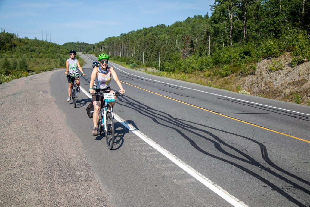
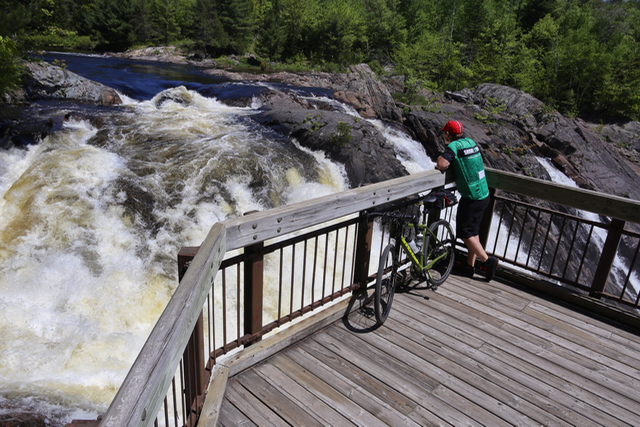
Never mind the Big Smoke. Welcome to big northern hospitality. Relive the Great Waterfront Trail Adventure from 2019 that inaugurated this section of the Great Lakes Waterfront Trail in Northern Ontario. Experience “the Caribbean of the North” along (mostly) quiet northern roads, following 12 heritage rivers on Lake Huron’s North Channel (the area in Lake Huron between the North Shore and the Manitoulin Island chain). You’ll tour some of the great Canadian landscapes that inspired the Group of Seven, find the biggest buck-five (the “Big Loonie” in Echo Bay and the “Big Nickel” in Sudbury). This route itinerary joins 26 communities including 3 First Nations, introduces you to cyclist-friendly marinas and locally-owned restaurants with great food. You’ll enjoy night skies not restrained by city lights. The route is rugged, relaxing, challenging and rewarding. We think you’re going to love it. Cycle the North!
Note: Roughly 50km of this route consists of gravel roads and trails. The longest consecutive stretch of gravel road on this tour is 14km, located in Huron Shores (Day 3). Gravel riding tips are included in the mini-guide/itineraries for this route. A further 50km of this route travels the generous paved shoulders of Highway 17. Be prepared to ride alongside traffic, including truck traffic. Use caution, however we feel you will be pleasantly surprised by the facilities.
This route is also part of Canada’s Great Trail.
Downloadable Resources:
Download the Lake Huron North Channel Mini-Guide: Two page description with overview map of the route.
Download the detailed daily itinerary: Itineraries including camping, hotel and motel recommendations, suggested stops, local history and gravel riding tips.
Daily Route Maps:
Day 01 – Sault Ste Marie (Up to 50km)
Day 02 – Sault Ste Marie to Bruce Mines (73-115km)
Day 03 – Bruce Mines to Blind River (96km)
Day 04 – Blind River to Espanola (115km)
Day 05 – Espanola to Sudbury (81km)
GPS Routing: GPS data is hosted on Ride with GPS. Enter the site, click “find” and enter the keyword “GWTA19”


“Highway 17, I must’ve traveled it close to a thousand times, but always on the highway, never off the highway,” says Yvan. “It was just amazing. There were spots and times where we could’ve taken a shuttle to skip an area but I said, no, I want to see the back roads here, so the countryside and everything else.”
“The people in the communities were first and foremost. So friendly and appreciative. Some great roads to cycle and lots of good scenery.

