Ajax to Quebec

Great Lake(s): Ontario, including St. Lawrence River
Total Distance: Up to 564km
Daily Distance: 52-110km
Suggested Overnights: Ajax, Cobourg, Picton, Kingston/Wolfe Island, Brockville, Cornwall, South Glengarry
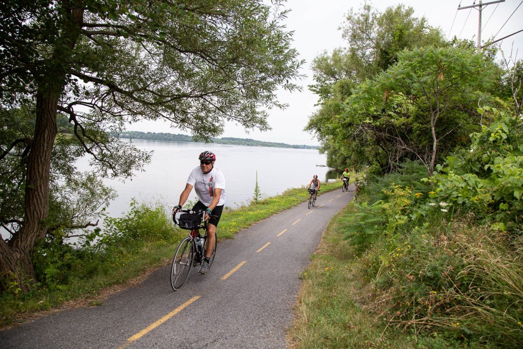
Ajax to Quebec is a classic Great Lakes Waterfront Trail ride through the many shoreline communities on the north shore of Lake Ontario and along the St. Lawrence River. With plenty of amenities and long stretches of off-road trail, this is a great route for those new to cycle touring, but a lot to offer the seasoned cycle tourists as well. You’ll travel along the water past wineries, ports, and historic villages; visit Canada’s first railway tunnel in Brockville, taste the island life on Wolfe Island and some of the region’s best pies and tarts near Port Hope; share in the highland roots of South Glengarry, visit the Thousand Islands, follow the St. Lawrence River and visit the site that commemorates the communities that have slipped beneath its waters. The Great Lakes Waterfront Trail connects seamlessly with La Route Verte in Quebec, where you can extend your trip an extra day and travel to Montreal.
Check out the route maps, itineraries and GPS info below as resources in planning your own self-supported trip.
Download the Daily Itineraries:
(Note: Itineraries include hotel and motel recommendations)
Day 1 – Ajax to Cobourg (99km)
Day 2 – Cobourg to Picton (107km)
Day 3 – Picton to Kingston and Wolfe Island (73km)
Suggestion: Stay and extra day to tour Wolfe Island for an extra 40-80km of island riding.
Day 4 – Kingston to Brockville (83km)
Day 5 – Brockville to Cornwall (110km)
Day 6 – Cornwall to Quebec Border (52km)
To extend your trip to Montreal (+99km), visit La Route Verte’s website for more trip planning resources.
Download the Daily Route Maps (PDF):
Day 1 Map – Ajax to Cobourg (99km)
Day 2 Map – Cobourg to Picton (107km)
Day 3 Map – Picton to Kingston and Wolfe Island (73km)
Day 4 Map – Kingston to Brockville (83km)
Day 5 Map – Brockville to Cornwall (110km)
Day 6 Map – Cornwall to Quebec Border (52km)
Download the Daily Route Maps (GPS):
Note: GPS maps are available through Ride with GPS. Many basic GPS formats can be downloaded for free with no account.
Day 1 GPS – Ajax to Cobourg
Day 2 GPS – Cobourg to Picton
Day 3 GPS – Picton to Kingston and Wolfe Island
Day 4 GPS – Kingston to Brockville
Day 5 GPS – Brockville to Cornwall
Day 6 GPS – Cornwall to Quebec Border


100% of our 2018 Great Waterfront Trail Adventure participants surveyed would recommend this section to friends and family.
“The swimming!!!! I should have gone swimming in Kingston too. The Woodchuck store in Gananoque!!!! The variety of restaurants . The Ice cream stores!!!! The friendly greetings by the locals who came out to offer us snacks and water. It is always wonderful to see people who live in the areas.”
